Although most Oregonians have heard of it, this is possibly one of the least visited areas on the north coast. Maybe that's because you actually have to turn off Highway 101 to get there! As a result, I think of this area as less of a tourist trap than say, Cannon Beach or Seaside. If you go to the coast to shop...probably not your first choice. But if you want solitude and natural beauty, give these places a try.
Whalen Island: A pleasant 1.4 mile loop hike with little elevation gain and several view opportunities of the Sandlake Estuary. From Sandlake Rd., look for the sign for Whalen Island Park. Cross the bridge into the park and veer right to the Clay Myers Natural Area. Park near the restrooms and picnic tables.
Begin either from the north or south edges of the parking lot to follow the loop trail. To the south is an accessible trail to an estuary overlook .1 mile over gravel. The remainder of the trail is dirt and sand. Also to the north is an estuary viewing location, but binoculars, or better yet, a scope is necessary to identify the bird life bobbing in the water.
You may see bufflehead, loons, cormorants, mergansers, blue heron, great egret and on our last visit, we were favored with a fly-by of a bald eagle.
Sandlake Recreation Area: Although dominated by OHV lovers, the other side of the estuary is viewable from your vehicle at the day-use area of Sand Beach Campground. From Sandlake Rd., turn on Galloway Rd. and follow the signs to Sandlake Recreation Area. Turn left toward the campground, but instead of entering the campground, continue straight ahead to a parking lot with a view of the estuary. Again, a nice place to set up a spotting scope.
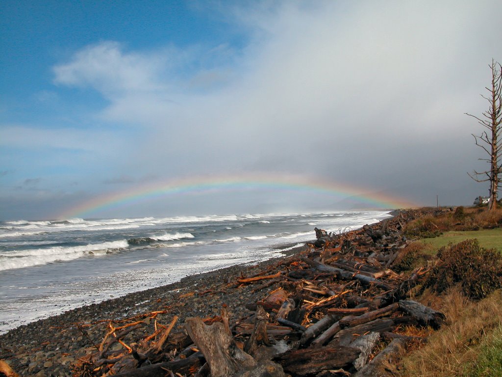
Bob Straub Wayside: Want to drive on the beach? On Pacific Ave. in Pacific City. Look for the sign.
Bob Straub State Park provides access to the Nestucca Spit. From Pacific Ave. turn left on Sunset Drive. Follow this road until it ends in a parking lot. Head over the dune and turn south (left) along the beach about 2.3 miles to the end of the spit, watching out for vehicles, which are allowed on the beach here. We saw a big group of seals lounging on the sand at the end of the spit. Round the tip of the spit and walk northeast along the shore of Nestucca Bay. At about 1.5 miles, the shoreline ends in a marshy, slough-infested area make any further northerly movement difficult. At this point, look for a sandy path through the young forest going in a generally westerly direction. This trail winds through the forest until it comes to a wider path that goes generally north. It is a good idea to have a compass or GPS in this area, because the woods are thick and horse trails crisscross through the forest. Also note that during the winter, some of the trail may be under water and will require some bushwacking to get through. Continue north until you return to the parking lot from whence you began.
No comments:
Post a Comment